Сурет:Map of Chosen.jpg

Түпнұсқа файл (2055 × 3163 пиксел, файл өлшемі: 2,19 MB, MIME түрі: image/jpeg)
| Бұл файл Wikimedia Commons? жобасынан, сондықтан басқа жобаларда да қолдануы мүмкін. Commons ашық лицензиялы медиа файл қоры. Сіз жобаға көмектесе аласыз. |
Ортаққордан қарау |
Түйін
| Сипаттамасы |
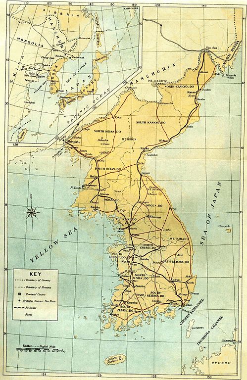
English: Old map of Korean peninsula with Japanese names.
한국어: 일제 강점기 한반도의 지도.
Русский: Старая карта Корейского полуострова с японскими названиями. |
| Күні | |
| Көзі | Book "Chosen of Today" |
| Авторы | The Government-General of Korea |
Лицензиялау
|
Бұл туынды АҚШ-тың қоғамдық қазынасы және бұл елдерде авторлық құқық сақталу мерзімі авторы қайтыс болғанына 70 жылдан асқан немесе одан аз болады.
| |
| Бұл файл белгілі авторлық құқықтардан, сондай-ақ байланысқан және сабақтас құқықтардан еркін болып анықталған | |
Файл тарихы
Файл сол кезде қалай көрінгенін көру үшін күн/уақыт дегенге басыңыз.
| Күн/Уақыт | Нобай | Өлшемдер | Қатысушы | Пікір | |
|---|---|---|---|---|---|
| қазіргі | 23:36, 2010 ж. наурыздың 19 | | 2055 × 3163 (2,19 MB) | Vajotwo | Removed borders |
| 20:02, 2010 ж. қаңтардың 7 |  | 2315 × 3263 (3,09 MB) | Elmor | {{Information |Description={{en|1=Old map of Korean peninsula with Japanese names.}} {{ko|1=일제시대 한바도의 지도.}} {{ru|1=Старая карта Корейского полуострова с японскими названиями.}} |Sourc |
Файл қолданылуы
Бұл файлды мына бет қолданады:
Глобалды файл қолданылуы
Бұл файл келесі басқа уикилерде қолданылады:
- da.wikipedia.org жобасында қолданылуы
- da.wikibooks.org жобасында қолданылуы
- de.wikipedia.org жобасында қолданылуы
- fr.wikipedia.org жобасында қолданылуы
- lv.wikipedia.org жобасында қолданылуы
- no.wikipedia.org жобасында қолданылуы
- ru.wikipedia.org жобасында қолданылуы
- sv.wikipedia.org жобасында қолданылуы
- tr.wikipedia.org жобасында қолданылуы
- uz.wikipedia.org жобасында қолданылуы
- zh-yue.wikipedia.org жобасында қолданылуы