Сурет:Nederland 1916 rus.jpg
Түпнұсқа файл (2034 × 2257 пиксел, файл өлшемі: 3,92 MB, MIME түрі: image/jpeg)
| Бұл файл Wikimedia Commons? жобасынан, сондықтан басқа жобаларда да қолдануы мүмкін. Commons ашық лицензиялы медиа файл қоры. Сіз жобаға көмектесе аласыз. |
Ортаққордан қарау |
Түйін
| Сипаттамасы |
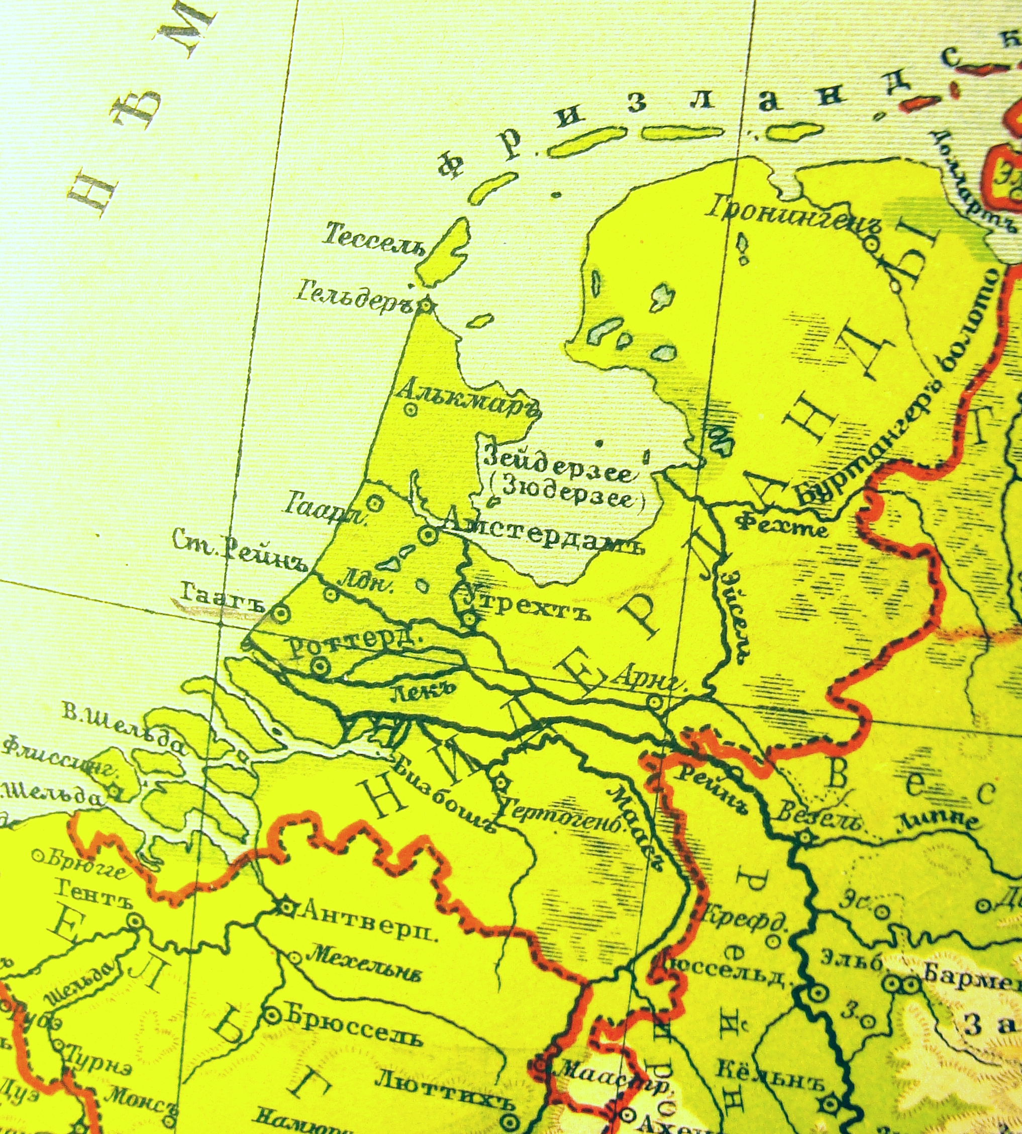
English: Map of the Netherlands. The Russian geographical atlas, 1916
Русский: Карта Нидерландов. Участок физической карты Германии, Нидерландов и Бельгии. Учебный географический атлас проф. Э.Ю.Петри. |
| Күні | |
| Көзі | Russian geographical atlas, anno 1916 |
| Авторы | Издание Т-ва А.Ф.Маркс, Петроград |
Лицензиялау
| This work is in the public domain in Russia according to article 1281 of the Civil Code of the Russian Federation, articles 5 and 6 of Law No. 231-FZ of the Russian Federation of December 18, 2006 (the Implementation Act for Book IV of the Civil Code of the Russian Federation).
This usually means that one of the following conditions is fulfilled.
This work is in the public domain in the United States because it was published (or registered with the U.S. Copyright Office) before January 1, 1929.
|
|||||
Файл тарихы
Файл сол кезде қалай көрінгенін көру үшін күн/уақыт дегенге басыңыз.
| Күн/Уақыт | Нобай | Өлшемдер | Қатысушы | Пікір | |
|---|---|---|---|---|---|
| қазіргі | 16:59, 2010 ж. қазанның 21 | | 2034 × 2257 (3,92 MB) | Григорий А. Харьков | {{Information |Description={{en|1=Map of the Netherlands. The Russian geographical atlas, 1916}} {{ru|1=Карта Нидерландов. Участок физической карты Германии, Нидерландов и Бельгии. Учеб� |
Файл қолданылуы
Бұл файлды мына бет қолданады:
Глобалды файл қолданылуы
Бұл файл келесі басқа уикилерде қолданылады:
- ar.wikipedia.org жобасында қолданылуы
- bg.wikipedia.org жобасында қолданылуы
- ca.wikipedia.org жобасында қолданылуы
- eo.wikipedia.org жобасында қолданылуы
- eu.wikipedia.org жобасында қолданылуы
- hy.wikipedia.org жобасында қолданылуы
- pnb.wikipedia.org жобасында қолданылуы
- ru.wikipedia.org жобасында қолданылуы
- uk.wikipedia.org жобасында қолданылуы
- www.wikidata.org жобасында қолданылуы